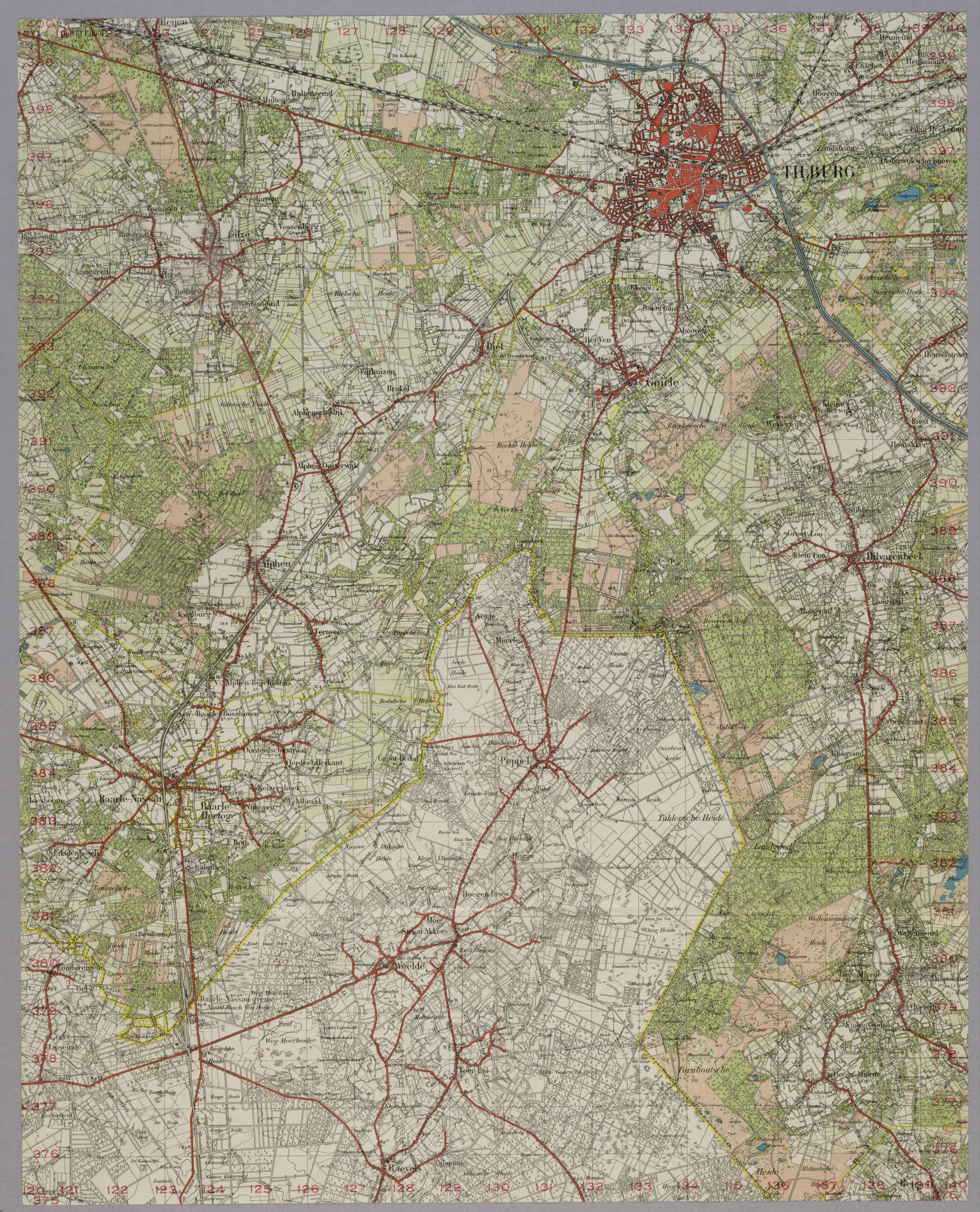
My thanks to Thomas Versteegh of the website “Old Topographic Maps Collection (Oude Stafkaarten Verzamelen)” at http://www.oudestafkaarten.nl/ for allowing me to reproduce the following 50 Breda Oost 1938 map published originally by the Netherlands Topografische Dienst. It covers the area from Tilburg to Raevels, Belgium and also includes the following Dutch and Belgian towns: Alphen, Baarle-Nassau, Baarle-Hertog (Belgium), Esbeek, Gilze, Goirle, Hilvarenbeek, Lage Mierde, Poppel (Belgium), Weelde (Belgium), and the Landgoed de Utrecht (Estate “de Utrecht”). I include this map in the website because it shows so many of the communities where the Smit-van der Heijden Line was active and the Dutch border towns through which so many people fleeing the Nazis had to pass. To view a specific location on the map, position your cursor on it and click once, pause, and then click a second time. You can also scroll through the map.